One Year at Outscape
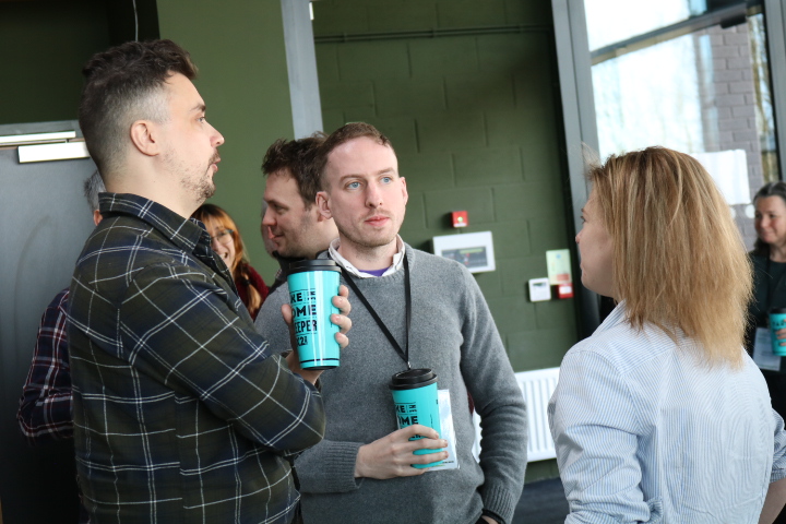
13th March 2023The team at Outscape is always expanding and growing, adding more strings of expertise and enthusiasm for the sector to our bow. In the past 4 years alone we have employed nine new staff members and now have a super team of 24 members pin total. We spoke to two of our staff who started working at Outscape in January and February 2022 to see how they have found their first year.
Emma and Neil joined the team as a GIS Technician and GIS Analyst respectively.

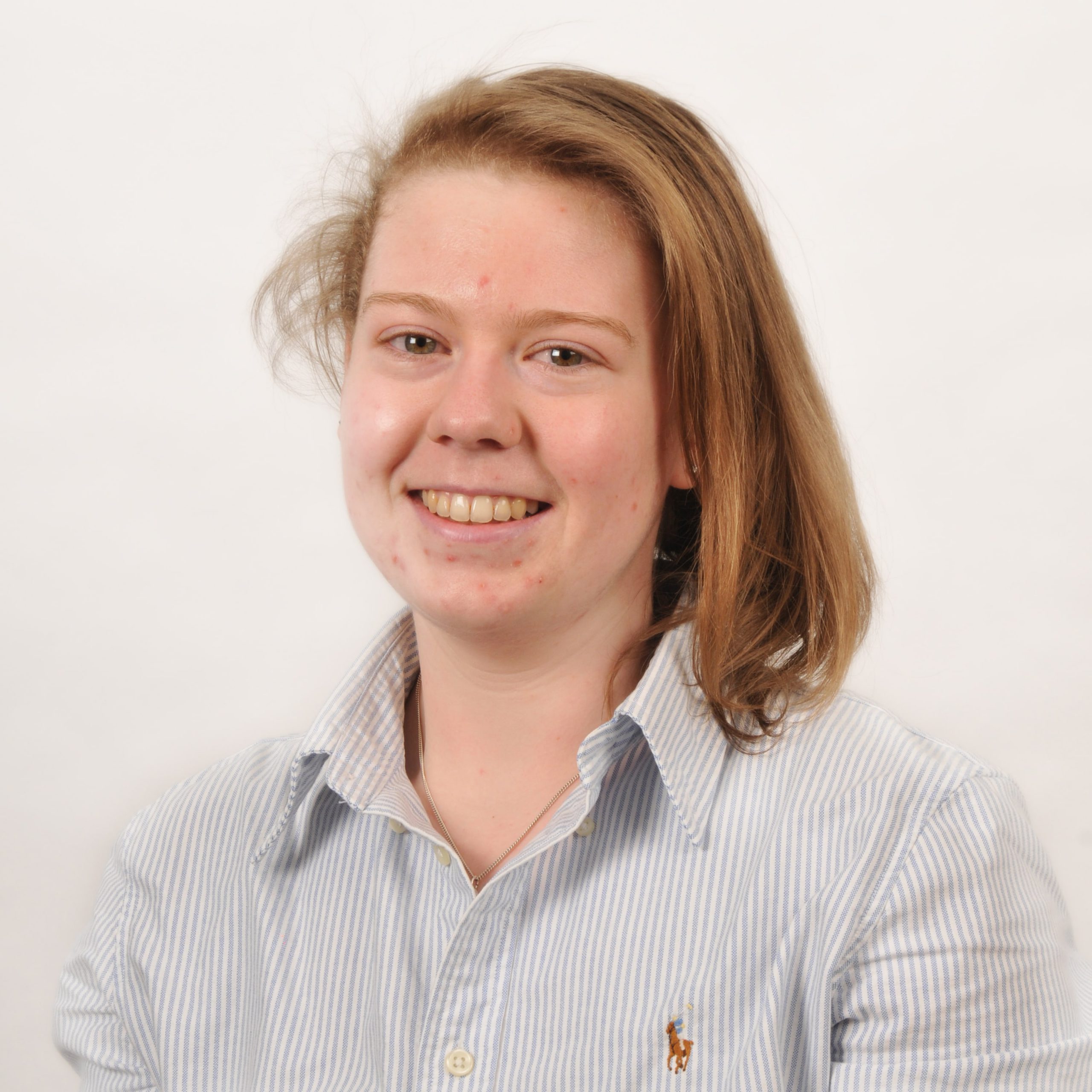
Emma joined as a recent Geography Graduate from Ulster University in January and was tasked with applying her skills to developing Northern Ireland’s first authoritative map of all publicly accessible greenspace and off-road trails. As well as using her GIS skills, Emma liaises with government departments and agencies, councils, and eNGOs to refine and verify data before it is imported into the Greenspace Layer. When published, the map will be available on OutmoreNI, SpatialNI and OpenDataNI.
In February we welcomed Neil as an experienced and passionate GIS Analyst. Neil delivers GIS related services and functions within Outscape including managing and maintaining our in-house GIS system and providing day-to-day GIS and mapping support for a wide range of outdoor recreation projects. Neil joined the Outscape team following the completion of his PhD at Queens University Belfast, using spatial analysis to study soil erosion processes. His experience in geospatial data management, combined with his analysis and visualisation skills, adds value to the ORNI team and allows us to deliver a first-rate service to stakeholders and clients.
What were you most excited about when you joined?
NEIL: I was definitely excited to take the lead in GIS in Outscape. While GIS was commonly used before I started, I was excited that Outscape recognised that existing GIS application was only the tip of the iceberg. There is considerable room to advance our understanding of outdoor recreation projects with effective geospatial analyses. Starting with a blank page most excited me about this, and the enthusiasm shown by the Outscape team concerning GIS was a massive draw to me.
EMMA: Although I’d worked before, I’d never had what my granny would call “A real job” so a year ago I was looking forward to starting my first real job! I had really enjoyed GIS during my time at University whilst using it in many different projects as well as my final dissertation and I was excited to be working in a GIS based job that allowed me to put my skills to the test, learning plenty as I went along. That combined with my love of the outdoors, has made Outscape a good fit.
What projects have you been working on over the year?
NEIL: The GIS Strategy is the most notable project that I have been working on since I started. This strategy aims to support all existing and future projects in Outscape by making the most out of GIS capabilities – whether that is for scoping and feasibility studies, planning applications, masterplan development, or simply allowing for effective sharing and collaboration of GIS data with partners. Aside from the GIS Strategy, I have been supporting all recent projects in Outscape – mostly with supplying maps to support on-site decision-making, but also to assist with gap analyses. For instance, the Donegal Outdoor Recreation Strategy required considerable GIS mapping so that the distribution of all known recreational activities across Co. Donegal could be conveniently displayed. Meanwhile, GIS analytical tools allowed for an understanding of trail prioritisation across Newry, Mourne and Down District Council (NMDDC) based on proximity to settlements and existing greenspace. Both examples show how GIS can be highly effective for gap analyses purposes, which in turn allows for action plans to be developed.
EMMA: Over the course of the year, I have spent almost all of my time working on the Greenspace Layer: an authoritative map of all publicly accessible Greenspaces and trails within Northern Ireland. This has been a long process and has involved a lot of desk-based mapping as well as engagement with councils and eNGOs.
The layer can be used to measure proximity to greenspace in Northern Ireland to calculate progress towards the PFG target of having 90% of the population within 400m of Greenspace by 2050. The project will be completed by March when it will be available publicly on Spatial NI and Open Data NI and will be accompanied by an exciting launch event.
I also had a small involvement in the revamp of the Outmore NI Website by adding and editing some of the data behind the scenes as well as being on hand for any minor GIS issues throughout the year.
What is your favourite project and why?
NEIL: Typically, I am most interested in projects that must consider aspects of environmental change – such as the impacts of future climate change on flooding extents – and environmental conservation. However, projects that require considerable GIS analysis functionality also interest me. The NMDDC Trail Prioritisation requires network analysis that conveniently expresses travel distances – such as walking or driving distances – or travel times from given features. This can become complicated, but equally rewarding.
EMMA: It’s an easy pick for me as I focus on the one project mostly (The greenspace map) but I enjoy getting to join in on the other projects across the office to give it a bit of variety.
What has been the highlight so far?
NEIL: The highlight has to be the camaraderie within the Outscape team. I’ve made a bunch of friends here, so each day in the office is good craic. We’re lucky to be situated in Barnett Demesne, so the lunchtime walks with some of the teams have become a daily necessity.
EMMA: There have been many highlights throughout the year but as someone who spends the majority of their working day at a desk, I’d have to say one of the best days was when my colleague in the Place Shaping team invited me to a site visit of the new Windmill Hill and Lough Park trail in Ballynahinch, on a very wet, cold day. Or maybe the day I went to Rowallane Gardens for a meeting… also in the rain.
But seriously, as we are now coming to the end of the Greenspace Map project, it has been great to work on it from the start to (nearly) finish. It has been great to work alongside my colleague in Outscape, Elizabeth Annett who heads up the research side (and keeps us on the straight and narrow) and our GIS Lead John Hewitt, whose GIS brain I have picked at any opportunity! We started with a lot of data that was inconsistent and lacked structure, so to be able to transform that into something organised and meaningful that will be useful resource for many years to come has been fantastic.
Have you learnt anything new since joining?
NEIL: I am continuing to learn GIS skills as things advance, but I am learning a bunch from each of the team concerning all things outdoor recreation. There is a really wide range of expertise in Outscape, so every day is a school day.
EMMA: One thing I’ve learnt this year, from my two previously mentioned trips out of the office, is to check the weather before leaving my desk…
What are you looking forward to in your next year?
NEIL: I am really looking forward to seeing how projects in Outscape can continue to be supported by GIS in future. I’m especially looking forward to using drone analysis to support projects, so that high-resolution topographical features can be modelled. This will also allow for convenient and time-efficient trail status updates to be provided.
EMMA: Over the next year I’m looking forward to continuing working at Outscape. We will be officially launching the Greenspace Map at an in-person event so that is definitely one to be excited about! As the project comes to an end, I’m also looking forward to a world outside of the Greenspace Map, getting involved with other projects in Outscape and working more with the rest of the team (ask me in a year if I still think the same!).