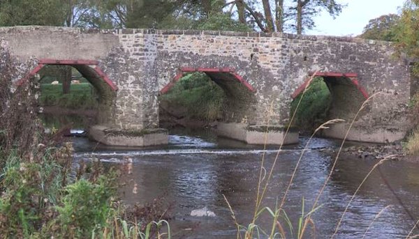
To identify and design plan a Community Trail starting and finishing at Arney Hall, Co Fermanagh to allowed participants to take in views of the site of the Battle of the Ford of the Biscuits and provide an optional connection via rural roads to Arney Bridge.
The Role
We delivered the following outputs:
Following a site inspection – we utilised ArcGIS mapping to provide a number of walking route options. This allowed community representatives to proactively liaise with local landowners and gauge support for the provision of access.
Following an indication of agreement from landowners – provided a report which included:
Accurate ArcGiS Mapping of proposed route
Construction Prescription Document including costing of trail construction, trail furniture, interpretation and waymarking