Greenspace Mapping Layer for NI
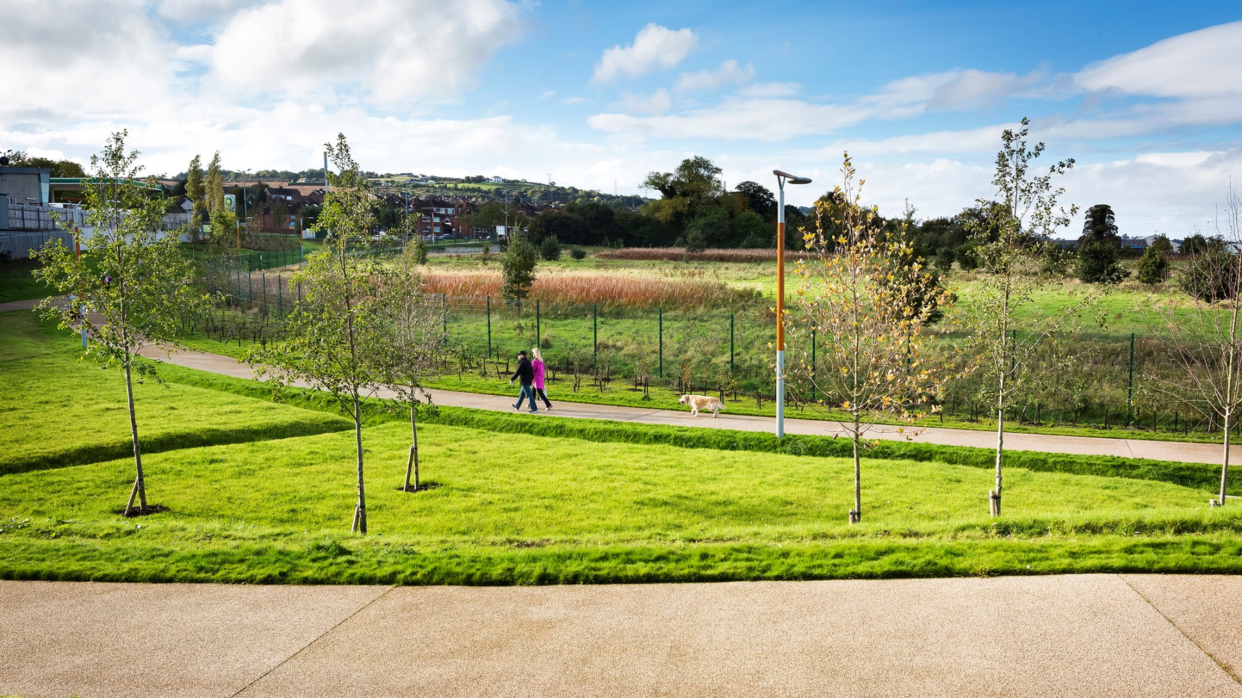
While outdoor recreation plays a vital role in Northern Ireland and contributes significantly towards priority areas such as health and wellbeing, protecting the environment, tackling inequality, growing and greening the economy, and increasing active travel, there is no authorative national map documenting all greenspace and off-trails that are publicly accessible.
England, Scotland and Wales have this in the form of Ordnance Survey GB Greenspace Open Layer and MasterMap Greenspace Layer, and the Republic of Ireland is currently developing an online Base Registry of Sports and Recreation Amenities. In GB, the OS MasterMap Greenspace is also starting to be used by governments to monitor the ‘% of homes with greenspace within a 5-minute walk from home’ target using network routing analysis.
The Greenspace Mapping Layer will deliver a comparative tool for NI and will be used primarily to measure progress towards the target of ‘90% of the population within a 5-minute of quality green/blue space’ that is proposed for the new PfG and other strategies.
The Greenspace Mapping Layer will develop and deliver an authoritative online map of all publicly accessible greenspace and off-road trails in Northern Ireland. It will be designed so:
3. The data will be visually engaging and published on Spatial NI, OutmoreNI and OpenDataNI.
The Greenspace Mapping Layer will also help deliver targets outlined in DAERA’s Green Growth Strategy and Delivery Framework, such as helping the population find and engage with their nearest greenspaces and off-road trails, and enjoy the wellbeing and environmental benefits that come from a greater connection and appreciation of nature. Furthermore, the Greenspace Mapping Layer will be able to inform public sector stakeholders with gap analysis, green infrastructure planning, and resource allocation to enable more ‘green connectors and corridors across cities, towns and landscapes’.
DAERA Environment Fund
Environmental Challenge Fund Competition 2021/22