EVENT DETAILS
Start Date
20th March, 2024
End Date
20th March, 2024
Time
10:30-11:45
Location
ONLINE
Price
Start Date
End Date
Time
Location
Price
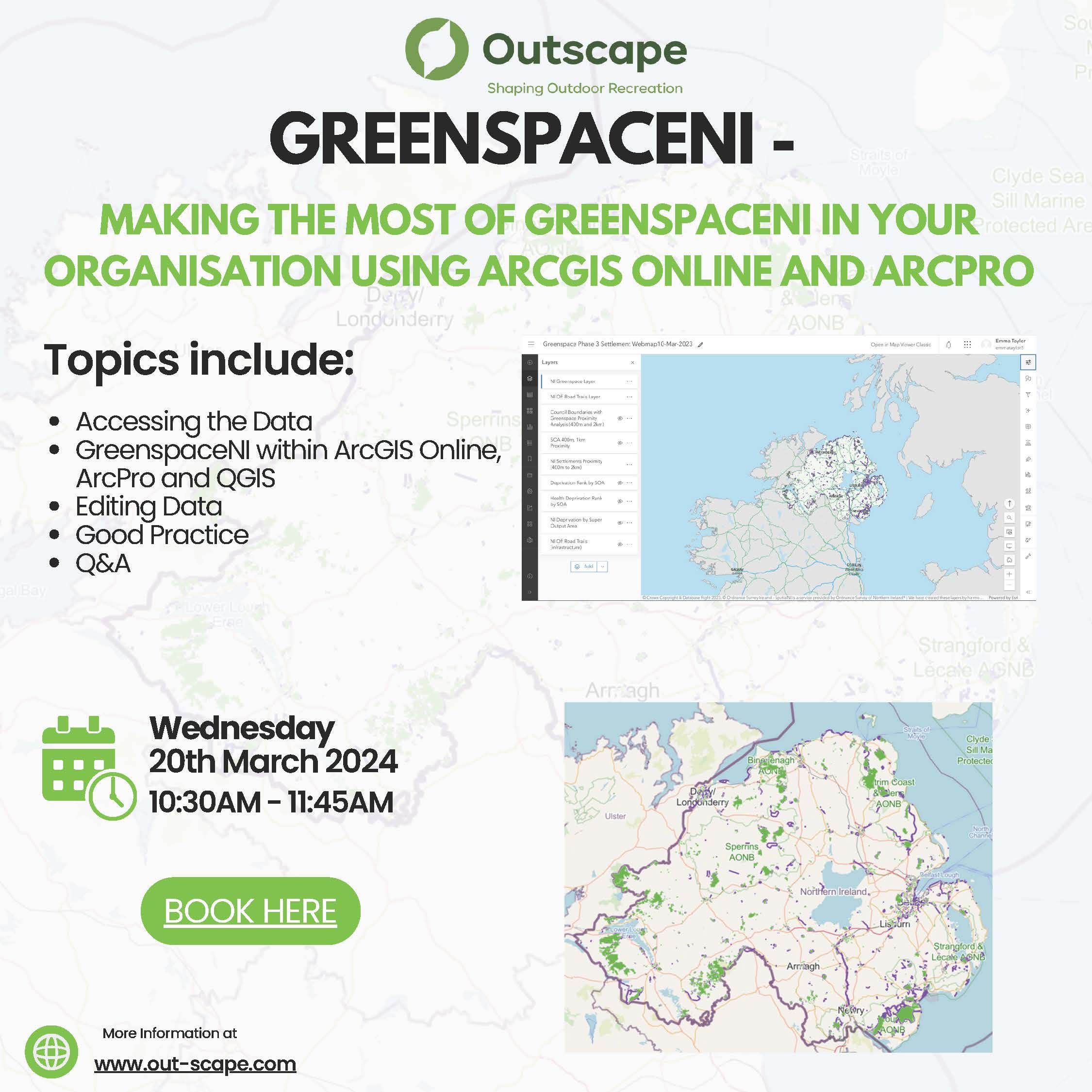
Making the most of GreenspaceNI in your organisation using ArcGIS Online and ArcPro
The GreenspaceNI Map provides public bodies, community groups and landowners with insights as to where accessible greenspace is needed most and the best routes to connect people to their local greenspace. This will enable all stakeholders to work towards the overarching ambition for everyone to have accessible quality greenspace within their community. Â
Following on from our successful launch event in June, we are now offering an opportunity for you to delve deeper into the GreenspaceNI. This online training workshop is the second of two. The first event, aimed at GIS beginners was titled “GreenspaceNI – The data and applications: a beginners guide to unleashing their full potential†and can be viewed here – GreenspaceNI – A beginners guide. This next event will give those with access to ArcGIS the opportunity to expand their knowledge. Â
The event will give you the chance to explore the resources that are available to ArcGIS users and how to utilise their full potential. The format of this session, unlike the previous webinar will be more interactive, with a chance to work though some common functions and ask questions in a smaller group scenario. The session will therefore require access to ArcGIS. If you have an existing ArcGIS Online account, please email emma@out-scape.com with your username before 28th February. We can also provide a free trial of ArcGIS Online on a first come first served basis, simply send a short paragraph explaining who you are and how you would benefit from access to this resource also to Emma by 28th February.Â
Within the session we will cover:Â
What is GreenspaceNI? Â
GreenspaceNI Community Group:Â
GreenspaceNI within ArcGIS Online:Â
GreenspaceNI within ArcPro:Â
What’s next?Â
Outscape (formerly Outdoor Recreation Northern Ireland) was provided grant aid investment from the Department of Agriculture, Environment and Rural Affairs (DAERA) and the Department for Infrastructure (DfI) on behalf of the cross-departmental Strategic Outdoor Recreation Group (SORG) to create a map of all greenspace and off-road trail assets with public access in Northern Ireland. For more information visit – https://www.outdoorrecreationni.com/news/greenspaceni-map/Â